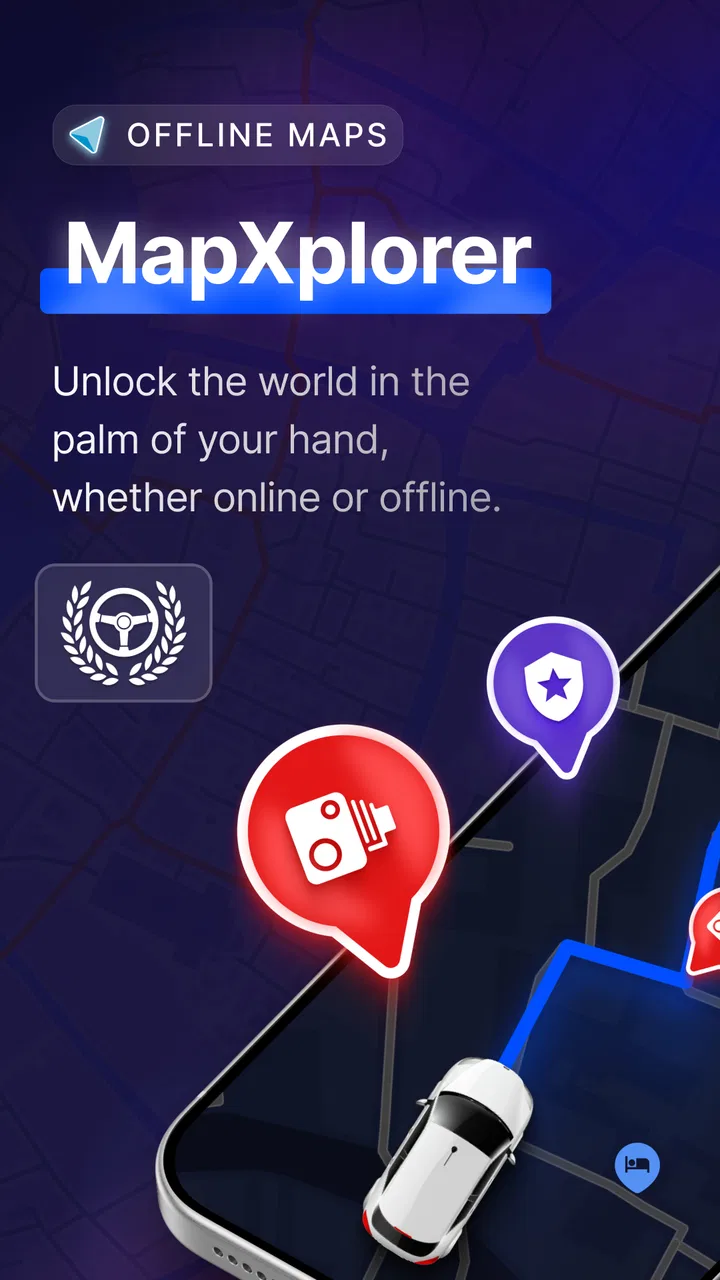
MapXplorer: Navigation, Radar
- 4.5
- Rating
- 10.00M
- Installs
- Free
- Price

 Analysis by App-foxy
I spent time with MapXplorer: Navigation, Radar as a practical maps and navigation app rather than treating it like a simple replacement for every mapping tool on my phone. Its appeal is easy to understand: it brings together offline map use, satellite imagery, radar information, and live alerts in one place. That combination can be useful when I want a broader view of a route than a standard turn-by-turn screen usually offers.
The app is made by Goldlab Pro and is available for free, with optional in-app purchases ranging from $6.99 to $69.99 per item. It is rated for Everyone, works on devices running Android 6.0 or later, and the current version is 109. I would describe it as a flexible travel companion for people who like to inspect an area before moving through it, not as an automatic answer to every navigation problem.
How I use MapXplorer in a normal trip
My preferred workflow starts before I leave. I open the map while connected, look over the destination, and check the surrounding roads instead of waiting until I am already driving. That small habit makes the app more useful because the satellite view can reveal the shape of a place, nearby open areas, and the relationship between roads that are difficult to understand from a plain map alone.
You May Also Like

 Blood Strike: 2.5 Anniversary
Blood Strike’s Loadouts Turn Every Drop Into a Tactical Gamble
A close look at Blood Strike’s custom loadouts: how fast access to signature weapons reshapes its battle royale rhythm, rewards preparation, and narrows the gap between fights.

 Pandora - Music & Podcasts
Pandora’s Music Is Easy to Start, but Harder to Recover
Pandora’s strength is its low-effort path from a seed to a station. Its weak spot is how much confidence it asks you to place in connection, setup, and quiet recovery.

 8 Ball Pool
 Is Built on Rivalries, Rematches, and Routine
A close look at the rivalries, rematches, shared routines, and unanswered safety questions that turn a quick pool match into a persistent mobile community.

 Samsung Music
’s Quiet Strength Is Playing What You Already Own
Its reach comes less from spectacle than from dependable access to a personal library. That simplicity is both the app’s strongest retention engine and its ceiling.

 AccuWeather: Weather Radar
AccuWeather Review: A Quick, Clear Forecast for Everyday Decisions
For everyday plans, the best forecast is the one you can understand quickly. AccuWeather makes rain timing, radar, and local conditions easy to act on, with a few trade-offs.

 Hill Climb Racing
Why Hill Climb Racing Still Turns Crashes Into One More Run
A tiny car, a bumpy hill and one more upgrade: Hill Climb Racing keeps resurfacing because its simple chaos makes every near-miss feel personal.
More From Our News Desk



For a short city trip, I use the regular map view first. It is the clearest way to understand streets, turns, and the general direction of travel. I then switch to satellite imagery when I need context. For example, if a destination is inside a large commercial area, a campus, or a spread-out public venue, the satellite layer may help me see entrances and nearby spaces more naturally than a conventional road drawing.
I do not treat the satellite layer as a guaranteed substitute for current road information. Images can be less helpful when I need exact turn guidance, and visual details can be difficult to interpret while moving. My rule is simple: inspect the area with satellite imagery before the trip, then rely on the clearest navigation view once I am on the road.
The offline side is most valuable when I expect weak coverage. I prepare the area while I have a stable connection, then use the saved map during the journey. This is a better routine than assuming that an app will automatically have every detail available without preparation. Anyone planning a rural drive, a trip through a large building complex, or travel in a place with unreliable reception should make offline preparation part of the process.
Weather information changes how I read the map. I use radar and alerts as planning layers rather than as a reason to make sudden decisions while driving. Before setting out, I can look at the route and consider whether changing conditions may affect the timing or the roads I want to use. The practical benefit is not that the app removes uncertainty; it puts more relevant context near the map I am already checking.
A realistic everyday example
Imagine I am driving to a weekend market in an unfamiliar part of town. I first locate the market, inspect the roads around it, and switch to satellite view to understand the surrounding layout. If the location has several entrances, I can use the visual context to choose a sensible approach instead of discovering the layout at the last moment.
Next, I check the weather layer before leaving. If radar shows a developing area of rain along the route, I can give myself more time or reconsider the timing. During the journey, I keep my attention on the road and use the navigation view for movement. The app is most helpful here because each layer has a separate job: the standard map supports orientation, satellite imagery supports preparation, and radar supports broader travel planning.
That separation is one of the first habits I would recommend. Trying to keep every layer active and visually prominent at once can make the screen harder to read. A good map app should reduce confusion, and I found that MapXplorer works better when I deliberately choose the view that matches the task.
What I check before relying on offline maps
Offline use sounds straightforward, but it rewards a repeatable routine. I prepare the map before leaving, open the area again, and make sure I understand the route while I still have a connection. I also avoid assuming that offline access makes every online feature behave identically. A downloaded map is primarily useful as a fallback for map viewing and route awareness; live information naturally depends on current data reaching the device.
This distinction matters for alerts and radar. I would not plan a trip around the expectation that live weather or real-time notices will remain fully current after the phone loses connectivity. Instead, I check those layers before departure and use offline mapping to maintain geographic context if the connection disappears. That is a more realistic and less stressful way to combine the app’s tools.
Settings and habits that make the app easier to use
The first setting decision is choosing the map style for the job. I prefer the standard map when I need quick orientation and satellite imagery when I am examining a destination. Treating those as interchangeable creates unnecessary visual noise. The strongest workflow is to switch views intentionally, not simply leave the most detailed-looking layer active all day.
Radar deserves the same discipline. Weather overlays can be useful before a journey, but they are not automatically useful during every journey. If I am navigating a familiar urban route in clear conditions, the radar layer may distract from the road information I actually need. If I am preparing for a longer drive or a changing forecast, it becomes more relevant. The setting is valuable because the situation calls for it, not because it should always be visible.
I also suggest checking alert behavior before a critical trip. Real-time alerts are most useful when they are noticeable without becoming overwhelming. I would spend a few minutes learning how the app presents them during ordinary use, then decide whether I want to depend on them as a secondary warning source. I would still keep normal driving awareness and other trusted information sources in the picture.
Another useful habit is to separate planning from driving. I do the detailed work while stopped: compare the map and satellite views, inspect the destination, review the weather context, and prepare offline access. Once moving, I simplify the screen and avoid repeatedly exploring layers. This makes the app feel faster even when the underlying tools have not changed, because I am asking less of the interface at the wrong moment.
Device age can also affect expectations. Since the app supports Android 6.0 and later, it can reach a wide range of phones, but older hardware may not feel equally comfortable with map rendering, satellite imagery, and weather overlays together. I would be especially careful about keeping the display uncluttered on an older device. If a map feels slow or busy, reducing the number of active visual elements is a sensible first step.
Shortcuts are mostly about preparation
MapXplorer does not need a complicated routine to become useful. My fastest pattern is to prepare recurring destinations in the same order every time: locate the place, inspect the surrounding roads, check the relevant weather layer, and prepare offline access if coverage may be unreliable. Repeating that sequence reduces the chance of forgetting the one step that matters most for a particular trip.
For familiar routes, I skip unnecessary inspection. I use the map view for basic orientation and only open satellite imagery when the destination itself is confusing. This keeps the app from becoming a slower version of a normal navigation tool. The value of its extra layers appears when they answer a specific question, such as where an entrance is or whether surrounding terrain and roads look different from what I expected.
For unfamiliar routes, I reverse the emphasis. I spend more time on the destination and less time obsessing over every turn. A detailed pre-trip look at the final approach can be more useful than repeatedly checking the entire route. In my experience, the last part of a journey is where map uncertainty becomes most frustrating, especially around large sites, side roads, and multiple access points.
A further practical tip is to use radar as a timing tool. Instead of staring at it throughout the trip, I check it before leaving and again when there is a genuine reason to reassess the plan. That keeps weather information connected to a decision. It also prevents the common mistake of confusing a moving visual layer with a precise promise about what will happen at one exact location.
Where it differs from ordinary navigation apps
The usual navigation alternative is built around route guidance: enter a destination, follow directions, and receive traffic or road information in a familiar interface. MapXplorer feels broader. Its offline maps, satellite view, radar, and alerts make it more suitable for exploring an area and preparing for a journey than for users who only want the quickest route with the least interaction.
That broader approach is a strength when I am traveling somewhere unfamiliar or planning around weather. It is also a trade-off. More layers mean more choices, and more choices can slow down someone who wants a simple answer immediately. A dedicated navigation service may be better for daily commuting, especially when traffic-aware routing and highly polished turn instructions are the main priorities.
I would also compare it with a conventional map app for place discovery. If I need a large directory of businesses, reviews, opening hours, or deep local search, a general-purpose mapping platform may be more convenient. MapXplorer’s appeal is the way it combines geographic viewing with weather-related context and offline preparation, not necessarily its ability to replace every location service on a phone.
Advanced limits and who should use it
The app’s average rating is 3.3 from around 24 thousand ratings, alongside 324 written reviews. I read that as a sign to approach it with realistic expectations rather than as an automatic recommendation or rejection. Its feature mix is attractive, but the experience will depend heavily on how well the interface, map data, device performance, and connectivity fit a person’s habits.
It has also passed the ten-million-install mark, which shows that the concept has reached a substantial audience. That does not remove the need to test it personally on the routes and devices that matter to me. Navigation tools are unusually dependent on local conditions, and a feature that is useful on a weekend trip may be unnecessary for a short daily commute.
The free starting point makes it easy to try without committing immediately. However, the presence of optional purchases from $6.99 to $69.99 per item means I would inspect any upgrade screen carefully before paying. I would first establish whether the free experience handles my actual workflow: map viewing, offline preparation, satellite inspection, and the weather layers I care about. Paying only makes sense if an optional feature solves a repeated problem for me.
One limitation is that offline maps should not be confused with a complete offline version of every live service. If I lose connectivity, I may still benefit from geographic map access, but I would not treat current alerts or radar movement as permanently guaranteed. This is not a reason to dismiss the app; it is a reason to plan intelligently and check live information before entering a low-coverage area.
Another limit is visual overload. Satellite imagery can be fascinating but less readable than a road map when I am trying to find the next turn. Radar can add useful context but can also compete with navigation information. Experienced use is therefore less about turning on every function and more about knowing when to turn one off. The best result comes from matching one map layer to one question.
I would recommend it to travelers who like to inspect destinations in advance, people who regularly face inconsistent mobile coverage, and users who want weather context close to their map. It is also a good fit for someone who enjoys exploring an area visually rather than relying only on a list of directions.
I would skip it as my primary navigation choice if I mainly commute along familiar roads and want the fastest possible route with minimal setup. I would also look elsewhere if my priority is a deep local business directory, specialized outdoor mapping, or highly detailed professional route planning. MapXplorer is most convincing when its combination of layers matters more than a single-purpose navigation experience.
My final view after building a repeatable routine
After using it as a planning tool rather than a magic navigation button, I found a clear role for MapXplorer: it helps me understand a journey before I take it. The standard map handles orientation, satellite imagery adds visual context, offline access provides resilience, and radar and alerts help me think about conditions. Those pieces work best when I select them deliberately.
The app is free to start, carries an Everyone age rating, and its current version is 109. Goldlab Pro has aimed at a wide audience by supporting Android 6.0 and later, but the experience is still shaped by the phone, the route, and the quality of the available connection. I would test it on an ordinary trip first, then decide whether its extra layers deserve a permanent place in my travel routine.
My recommendation is positive but specific. MapXplorer: Navigation, Radar is worth trying if you want offline map preparation and visual or weather context in the same app. I would not install it expecting every traditional navigation feature to be better than established alternatives. Instead, I would use it through a simple habit: prepare while connected, choose the clearest layer for the task, check conditions before leaving, and keep the moving journey view uncluttered. Used that way, it becomes a thoughtful companion for exploration and uncertain travel rather than an unnecessarily complicated map screen.
FAQs for MapXplorer: Navigation, Radar
01What features does MapXplorer: Navigation, Radar offer?
MapXplorer: Navigation, Radar offers real-time GPS navigation, an interactive radar for traffic updates, and customizable maps. It also includes offline map access, voice-guided directions, and local points of interest. The app integrates seamlessly with various social media platforms for location sharing and has a user-friendly interface for easy navigation.
02Is MapXplorer: Navigation, Radar available offline?
Yes, MapXplorer provides offline maps that you can download in advance. This feature is particularly useful for travelers who might not always have access to the internet. You can navigate, search for locations, and get directions without needing a data connection, ensuring you stay on track even in remote areas.
03How accurate is the traffic radar in MapXplorer?
The traffic radar in MapXplorer offers real-time updates and is highly accurate. It uses data from multiple sources, including community reports and official traffic updates, to provide timely information about road conditions, accidents, and traffic jams, helping you choose the fastest route available.
04What are the pros and cons of using MapXplorer?
Pros include a comprehensive suite of navigation tools, offline map access, and real-time traffic updates. It's user-friendly and integrates well with social media. However, some users may find the app's premium features, which require a subscription, to be a downside. Additionally, initial map downloads can be data-intensive.
05Is MapXplorer: Navigation, Radar free to use?
MapXplorer offers a free version with basic features, ideal for casual users. For more advanced functionalities, such as enhanced radar tools and ad-free experience, there is a premium subscription available. This allows users to choose the level of service that best fits their needs and budget.
Pros
- User-friendly interface for easy navigation.
- Accurate GPS with real-time updates.
- Offline maps available for remote areas.
- Customizable routes for personal preferences.
- Interactive radar features enhance safety.
Cons
- Consumes significant battery power.
- Ads can be intrusive during use.
- Occasional lag in real-time updates.
- Limited customization in free version.
- Requires large storage space for maps.

MapXplorer: Navigation, Radar
Gallery